

All About Mountain Monkey Company
Always driven by the pursuit of new challenges, once living in Washington State found the passion for mountaineering to explore the North Cascades that drove the sights to climb the Seven Summits, regarded as the ultimate mountaineering challenge. Blessed to have summited five of the seven peaks, including a journey to Mount Everest, it ultimately created one of the best chapters of my life.
Cherishing Each Accomplishment
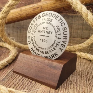
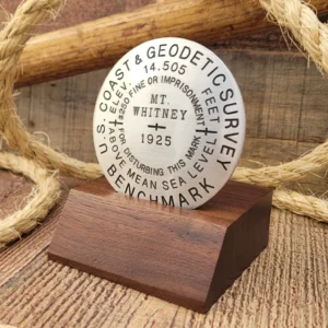
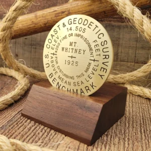
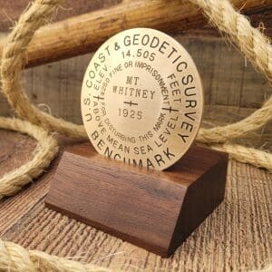
Throughout my travels, I have come to appreciate the importance of cherishing each accomplishment, no matter how big or small. This understanding is at the heart of Mountain Monkey Company, where we offer unique customized benchmarks to commemorate any life achievement, whether a mountain climb or personal and professional accomplishment.
At Mountain Monkey Company, we believe that everyone should be able to celebrate their accomplishments and remember the journey that got them there. We take great pride in offering replica and custom benchmarks to commemorate your life achievements and are always here to help answer any questions you may have.


Life is a journey filled with lessons, hardships, heartaches, joys, celebrations and special moments that will ultimately lead us to our destination, our purpose in life. The road will not always be smooth; in fact, throughout our travels, we must encounter many challenges.
“Balancing the Urban Mountain” shares my journey to stand on top of the highest peak in each of the seven continents, which hopefully inspires others to search and discover thier life passion, no matter what it might be.
In my down time, I enjoy riding vintage Harley's and created a new "balance" offering rolling chassis kits which are the perfect foundation for new builders who dream of crafting a classic. Check it out!


