
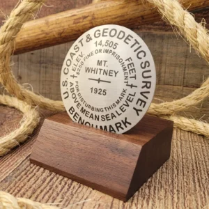
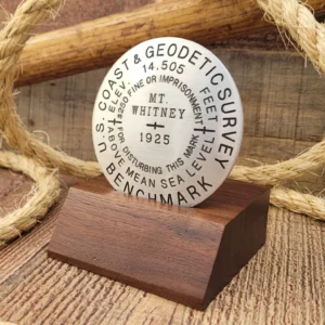
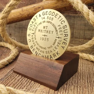
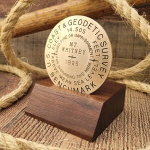

Survey markers, also known as benchmarks, survey monuments, and geodetic marks, are objects placed to mark key survey points on the Earth's surface. They are used in geodetic and land surveying, with various materials being used over the years, such as brass disks, liquor bottles, and rock cairns.
In 1900, survey markers were often placed as part of triangulation surveys to establish angles and distances between points, which laid the basis for map-making. The most common geodetic survey marks are cast metal disks with stamped legends, placed in rock ledges. After the formation of NOAA, (National Oceanic and Atmospheric Administration) in 1970, the use of "National Geodetic Survey" disks started to have latitude and longitude of the station mark.
The National Geodetic Survey Data Explorer allows adventurers to search for benchmarks and survey markers in locations of interest. Click here to view the database.
For those wanting to know even more about the history, check out this amazing white paper by CDR George E. Leigh, NOAA Corps (Ret’d.) named "Marking the Surveys of the U.S. Coast & Geodetic Survey and NOAA". Check it out.


